New insights on the future impacts of climate change around Port Phillip Bay are now available with the release of Victoria’s Port Phillip Bay Coastal Hazard Assessment.
The Department of Energy, Environment and Climate Action released the Coastal Hazard Assessment reports, which involved extensive modelling and analysis on current and future coastal hazards around Port Phillip Bay.
In a first of its kind, this Coastal Hazard Assessment will help coastal land managers and the community understand, plan for, and manage the increasing impacts of climate change.
The report provides a regional perspective of coastal processes and potential hazard areas around Port Phillip Bay for a range of hazard types, storm events and sea level rise scenarios. It also includes the likely extent of flooding, changes in groundwater, and the impact of erosion in the decades to come.
Extending from Point Lonsdale to Point Nepean, the Coastal Hazard Assessment looked at present-day conditions, predicted future changes, such as rising sea levels and changing wind and wave climates and examined how these changes might affect areas around the Bay.
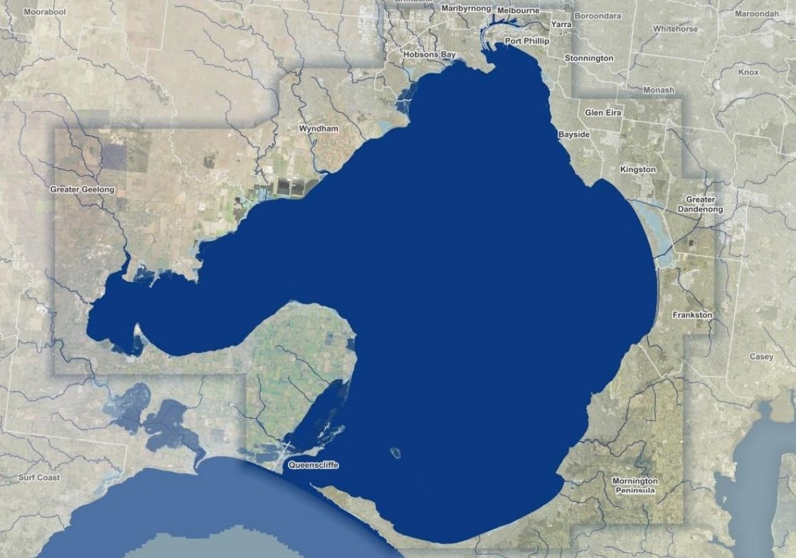
Caption: Map of Port Phillip Bay. Credit: Department of Energy, Environment and Climate Action
The modelling, analysis and hazard maps provide a regional perspective of coastal processes and areas potentially exposed to coastal hazards around the Bay. These results provide the foundation for more in-depth, site-specific assessments and adaptation planning.
The modelling and analyses enable Victoria to proactively plan responses to current and future coastal hazard risk in coastal communities effectively and determine where to focus efforts.
Victoria’s State of the Marine and Coastal Environment 2021 Report reported that, “Harnessing the scientific and technological developments and availability of Earth observation and spatial information for monitoring and protecting Victoria’s marine assets is a major opportunity to support and protect Victoria’s marine and coastal environments and communities.”
Dr Sparkes explains, “The Coastal Hazard Assessment is an important step to protect and support Victoria’s marine and coastal environments. It provides much needed information to coastal managers and communities and is an important resource to inform the Victorian State of the Marine and Coastal Environment 2024 and State of the Great Ocean Road Coast and Parks 2024 reports this year.”