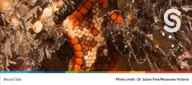
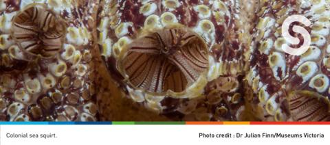
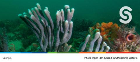
As part of our campaign to celebrate Victoria’s marine environment, this week we wanted to share some background to the two most populated Bays – Port Phillip and Western Port. At the edge of the Gondwana supercontinent millions of years ago, molten rock accumulated and formed around what is now the Mornington Peninsula. Gradually a mountain range began to erode on a fringe of Gondwana which would eventually become Port Phillip Bay. Today, Port Phillip Bay comprises an area of 1,930 km2 with a 333 km coastline and over 1000 species of marine plants and animals. Western Port was formerly a major river drainage system. Western Port has an area of 656 km2 with two large islands, French Island and Phillip Island. We invite you to watch the creation story of the great bay too, a work commissioned by the Arts Centre.
You can access more fascinating information about our bays in the State of the Bays (SotB) 2016 report. The science from the SotB 2016 will be updated and expanded to include five regions in the inaugural Victorian State of the Marine and Coastal Environment (SMCE) report due for release late 2021 and and currently in preparation by the Commissioner for Environmental Sustainability. https://lnkd.in/gB5Z4ey
Quick fact
Did you know that Victoria is one of only two jurisdictions in Australia (the other being the ACT) with an independent Commissioner charged with periodic State of the Environment reporting? Read about Victoria’s Commissioner for Environmental Sustainability.