
Victoria’s marine and coastal environments form part of Australia’s unique southern coast.
Water catchments, creeks, rivers, estuaries, coasts and reefs form a dynamic system and transition zone between the land and the sea to help Victorians achieve many economic, social and environmental benefits. From catchments to reef, understanding this special environment is a key step towards ensuring appropriate management for current and future generations.
The five marine and coastal regions assessed are:
- Port Phillip Bay
- Western Port
- Corner Inlet and Nooramunga
- Gippsland Lakes
- Victoria's system of Marine Protected Areas.
The report also includes assessments conducted on a statewide scale. The range of assessment depends on the localisation of the impacts associated with each indicator and the spatial scale of the supporting evidence.
The analysis of what constitutes ‘marine and coastal’ conforms with the definition in the Marine and Coastal Act 2018. The marine and coastal environment includes all private and public land and waters between the outer limit of Victorian coastal water and 5 km inland of the high-water mark of the sea.
Learn more about the health of our marine and coastal system, view the Report findings.
Victoria’s marine and coastal regions explained
Port Phillip Bay
Port Phillip Bay comprises an area of 1,930 km2 with a 333 km coastline and over 1,000 species of marine plants and animals. For the purposes of the report, we have amalgamated Port Phillip Bay and Port Phillip Heads marine biounits together under a heading of “Port Phillip Bay”.
It is the embayment of Port Phillip Bay, Geelong Arm, Corio Bay and Port Phillip Heads. There are numerous estuaries, many of which are modified and three marine protected areas: Point Cooke, Jawbone and Ricketts Point marine sanctuaries.
Ricketts Point
Credit: Museums Victoria
Port Phillip Heads south of the Great Sands at the extent of the tidal currents to Rip Bank at 19 metres depth between Point Lonsdale and Point Nepean. The Port Phillip Heads Marine National Park consists of six separate areas (Swan Bay, Mud Islands, Point Lonsdale, Point Nepean, Popes Eye, Portsea Hole) over the tide-swept region of inner Port Phillip Heads.
The sheltered embayment is strongly influenced by the Western Treatment Plant nutrient input and the Yarra River freshwater plume as there is constricted water exchange with the open coast. The muddy sediment basin performs a crucial ecosystem service of nitrogen cycling.
Habitats include shallow reefs, sandy and muddy sediment beds, seagrass beds, drift algal beds, biogenic reefs and saltmarsh.
Western Port
Western Port has an area of 650 km2 with two large islands: French Island and Phillip Island. Its marine protected areas are Yaringa, French Island and Churchill Island marine national parks. It’s home to seven main estuaries (Hanns Inlet, Hastings Bight, Watsons Inlet, Rutherford Inlet, Sawtells Inlet, Bass River, Swan Bay), two large and several small offshore islands (French Island, Phillip Island and Sandstone, Quail, Chinaman, Barrallier, Pelican, Elizabeth, Reef and Churchill islands). This area has a strong tidal stream, channels and banks.
Habitats include moderate energy, circalittoral and infralittoral reefs, sandy and muddy sediment beds, tide-swept sediment channels, seagrass beds, green algae sediment beds, biogenic bryozoan reefs, saltmarsh, mangroves.

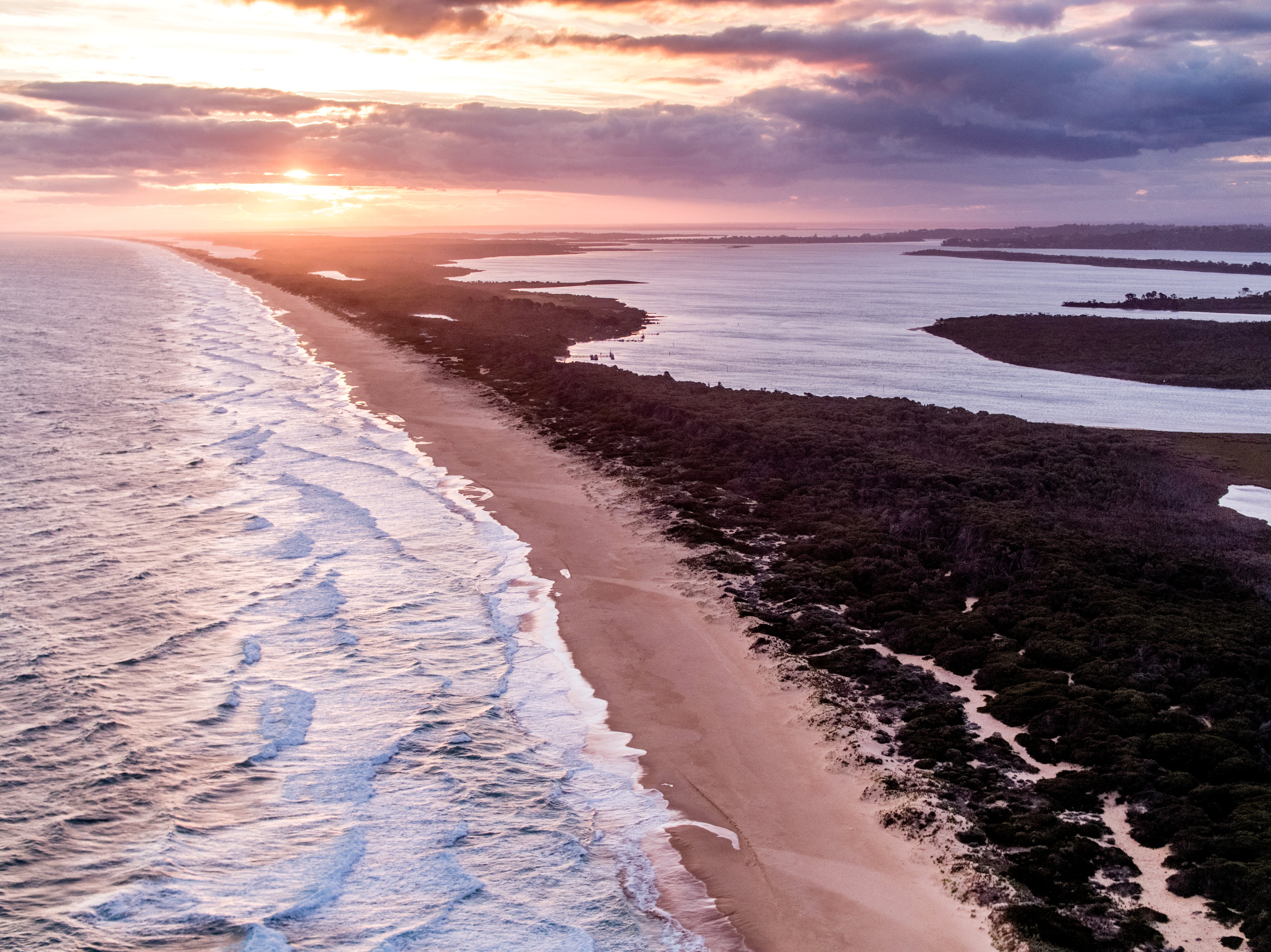
Corner Inlet and Nooramunga
Corner Inlet is bounded by the Nooramunga Marine and Coastal Park in the east and the entrance to the embayment in the southeast. The 362 km2 area includes the Corner Inlet Marine National Park and the multiple-use Corner Inlet Marine Coastal Park. It has three major estuaries: Franklin River, Agnes River, Chinamans Creek. This is a sheltered bay area with a network of channels and shallow beds and includes sediment flats, rock and granite islands.
Habitats include low energy, moderate to strong tidal streams, sand flats, banks and channels, circalittoral rock biotopes, seagrass beds, biogenic reef in channels, mangroves and saltmarsh.
The 176 km2 Nooramunga area extends from east of Port Welshpool and north of multiple barrier islands and includes the multiple-use Nooramunga Marine and Coastal Park. There are two major estuaries (Albert and Tarra rivers). The sheltered embayment with channels has numerous sandy islands (including Little Snake, Sunday and Saint Margaret islands) and barrier islands (including Snake Island, Clonmel Island, Box Bank, Dream Island).
Habitats include low energy, moderate to strong tidal streams, sand flats, banks and channels, seagrass beds, mangroves and saltmarsh. The area is of national geomorphological significance as an example of barrier island formation.
Gippsland Lakes
The 556 km2 Gippsland Lakes area encompasses the Gippsland Lakes and associated inlets and saltmarshes. There are no marine protected areas. It is a system of sheltered embayments with connecting channels and sandy islands. The lakes are fed by several river systems, the largest of which are the LaTrobe, Avon, Mitchell, Nicholson and Tambo rivers.
Habitats include low energy, weak to moderate tidal streams, sediment flats, banks and channels, seagrass beds, sediment epibiota, sediment biogenic reef and saltmarsh.
Victoria's Marine Protected Areas
The report assessed an amalgamation of marine protected areas across Victoria, including the marine national parks and marine sanctuaries.
Victoria has 30 marine protected areas including marine national parks, marine sanctuaries, marine and coastal parks, marine parks and a marine reserve.
Victoria’s marine protected areas consist of 24 no-take marine protected areas (13 marine national parks and 11 marine sanctuaries) and six multiple-use marine protected areas.
Around 5 percent of Victorian coastal waters are protected areas with no extractive uses allowed, managed primarily for environmental protection, conservation of natural features and recreation.
Marine national parks and marine sanctuaries legally protect Victoria's diverse marine plants and animals, and their habitats.
Marine sanctuaries are smaller areas, designed to protect special features like typical or outstanding examples of habitats, areas of special scientific significance, or areas that provide opportunities for recreation and education.
Estuaries are places where rivers and creeks meet the sea and the freshwater mixes with the salt water of the ocean. Some inlets with little freshwater input may also be classified as estuaries.
A catchment is an area where water is collected by the natural landscape. Gravity causes rain and run-off in the catchment to run downhill where it naturally collects in creeks, rivers, lakes or oceans.
Read more
References: VEAC 2018 Atlas

- Return to the State of the Marine and Coastal Environment 2021 Report home page